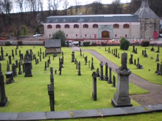
Rothes Old Churchyard
- Country United Kingdom
- Total identified casualties 12 Find these casualties
- Region Moray
- Identified casualties from First & Second World War
- GPS Coordinates Latitude: 57.52652, Longitude: -3.21393
Location information
This churchyard, containing some trace of the former Parish Church, lies between the railway station and the Spey. It has been extended three times. It now belongs to the Town Council.